southcotswoldramblers.org.uk
Dovedale Day Off
Mam Tor and Castleton
April 2016
Use Back Arrow on
your browser to see
Dovedale menu
Holiday Photos
|
southcotswoldramblers.org.uk Dovedale Day Off Mam Tor and Castleton April 2016 |
| Use Back Arrow on your browser to see Dovedale menu Holiday Photos |
|
| On our day off Heather and Mike decide to revisit Castleton and Mam Tor. | |
|
|
| We had visited there with the Group in 2003. Others there included Bernard, Bruno and Olivia, see the proof here | |
|
|
| Nearly up on to the ridge | |
|
|
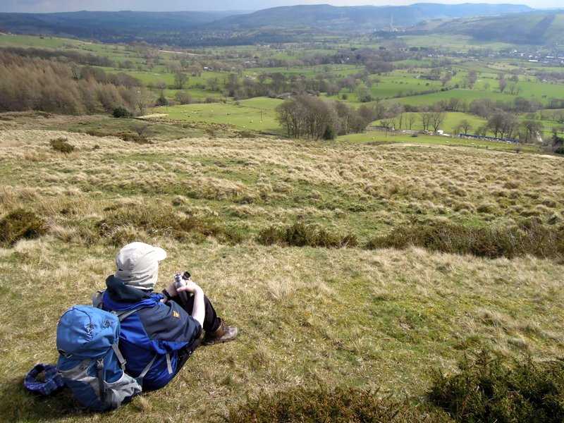
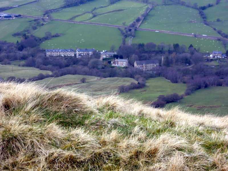
| High above Castleton | |
|
|
| Quite a climb | |
|
|
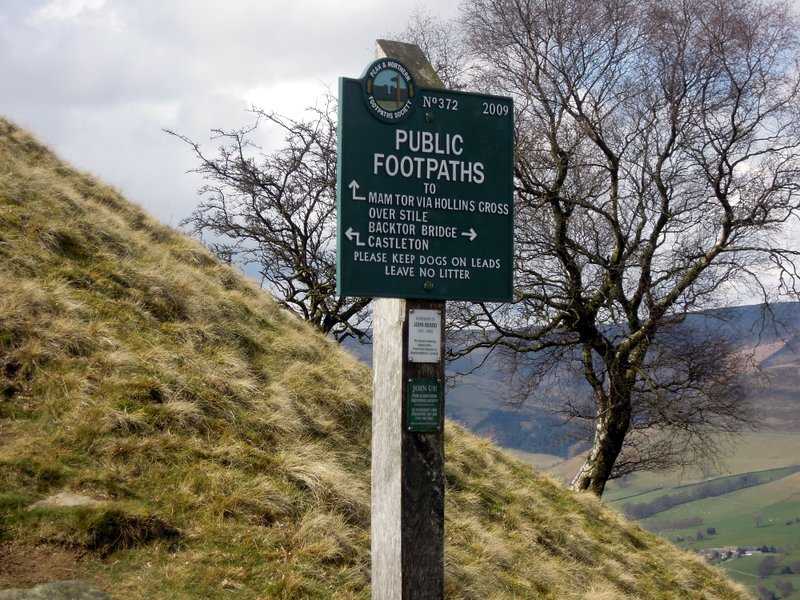
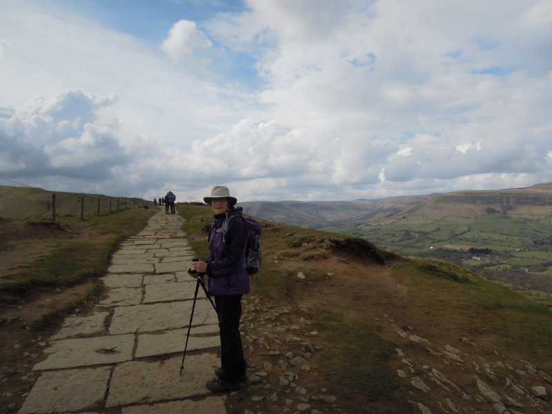
| We are heading along the ridge to Mam Tor | |
|
|
| Will it rain? | |
|
|
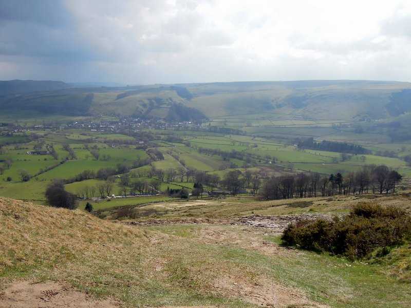
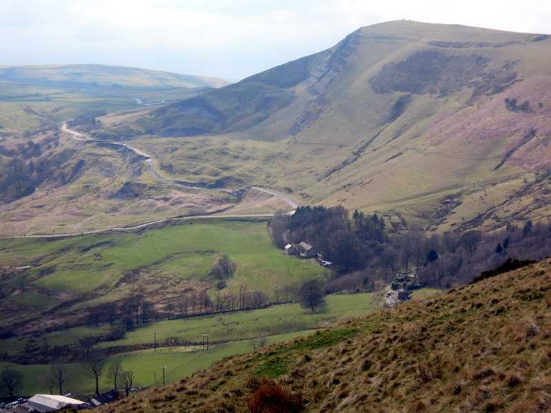
| On the other side of the ridge is the start of the Dark Peak. Down there is Edale, the start of the Pennine Way and a little further north is Kinder Scout | |
|
|
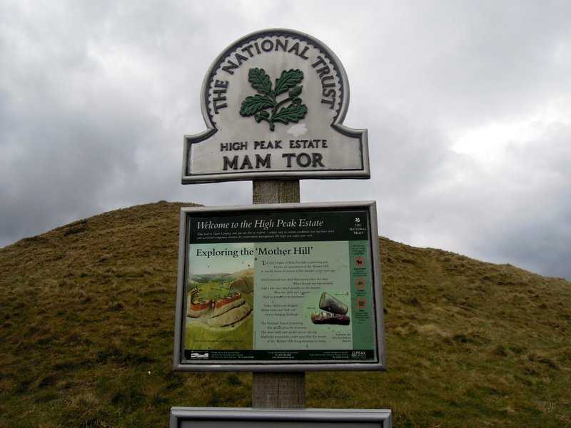
| Mam Tor is a 517 m (1,696 ft) hill near Castleton in the High Peak of Derbyshire, England. Its name means "mother hill", so called because frequent landslips on its eastern face have resulted in a multitude of 'mini-hills' beneath it. These landslips, which are caused by unstable lower layers of shale, also give the hill its alternative name of Shivering Mountain. | |
|
|
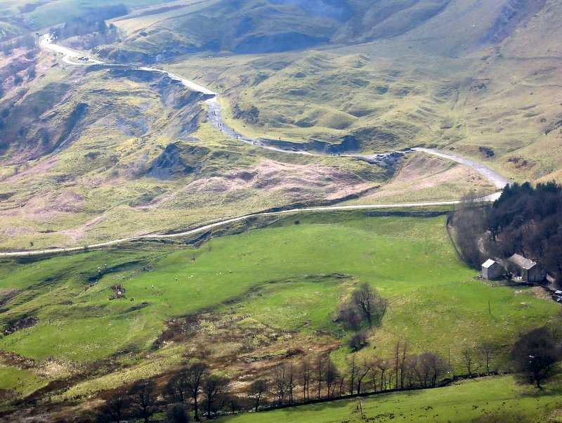
| In 1979 the continual battle to maintain the A625 road (Sheffield to Chapel en le Frith) on the crumbling eastern side of the hill was lost when the road officially closed as a through-route. Can you see walkers on the ruined road? | |
|
|
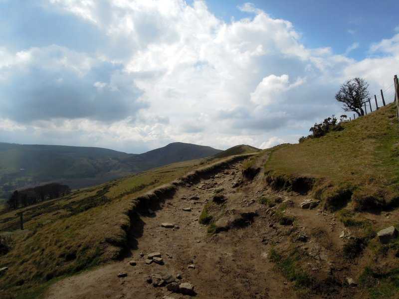
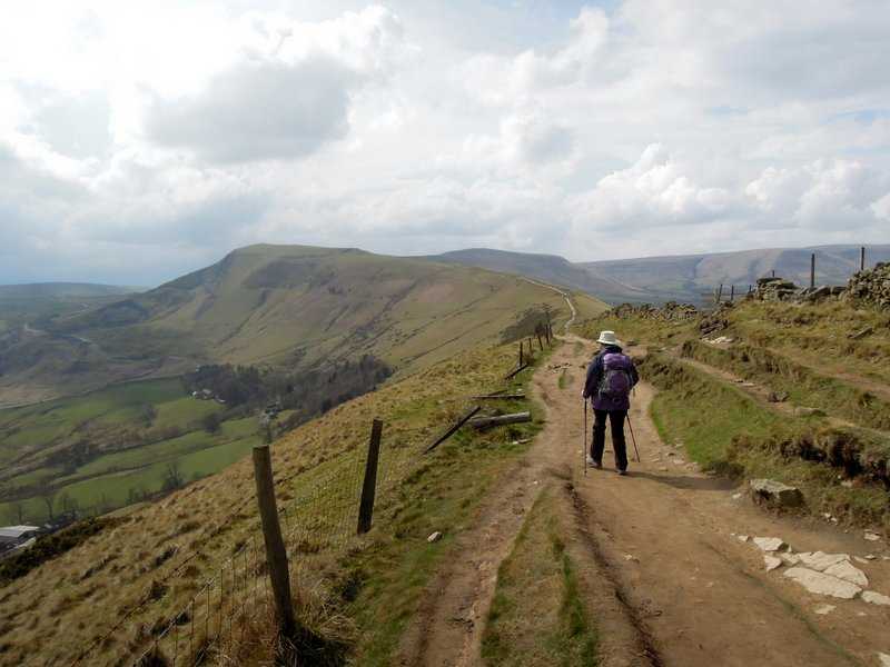
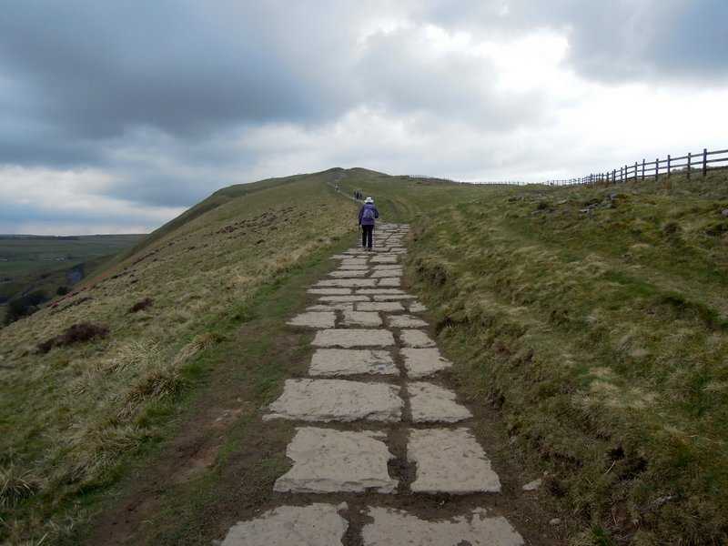
| Back on top our route is clear | |
|
|
| And well paved | |
|
|
| It looks more doubtful | |
|
|
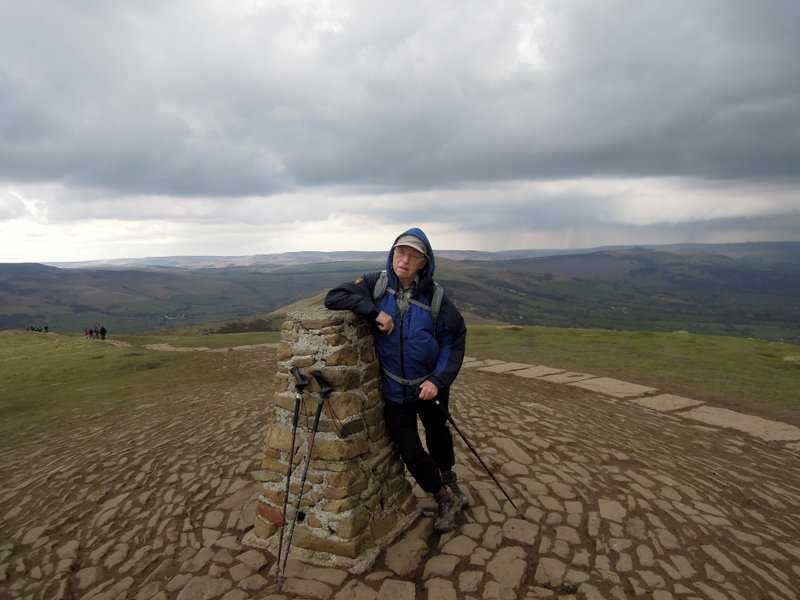
| But we make it. Looking north to the Dark Peak | |
|
|
| Down we come as it starts to rain | |
|
|
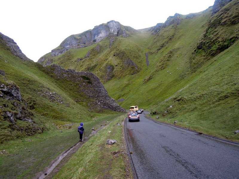
| We descend through the spectacular Winnats Pass back to Castleton. It is a long collapsed limestone cave system. The name Winnats is short for 'Windygates' and on a windy day one can see why it came by that name, for the wind seems to swirl around everywhere. The 'pass' part of the name is something of a misnomer - Winnats is a steep-sided limestone valley with cliffs on all sides. The sides of the valley contain a number of known pot-holes and Speedwell Cavern (one of the area's many show caves) has its entrance at the foot of Winnats Pass. |
| Photos and captions by Mike |